 |
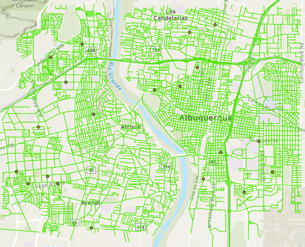
| Reference points representing the "true" location of intersections. |
As previously discussed, to determine accuracy a datapoint must be compared to a known reference point for what the "true" value is. In this project the goal was to compare the accuracy of two polyline street datasets; one from the City of Albuquerque, and one from the company StreetMap USA. The reference points were determined by using raster satellite images of the roads and neighborhoods contained in both polyline datasets. I selected 20 reference points at intersections throughout the sample area based on guidelines in the Positional Accuracy Handbook. After that I created point datasets that corresponded with the location of those same intersections in each of the street polyline sets. From here, each of the street datasets could be compared with the "true" location of the intersection. I imported the coordinate values into Excel to run the RMSE, and determine the NSSDA for horizontal accuracy of each street dataset.
Horizontal positional accuracy:


No comments:
Post a Comment